
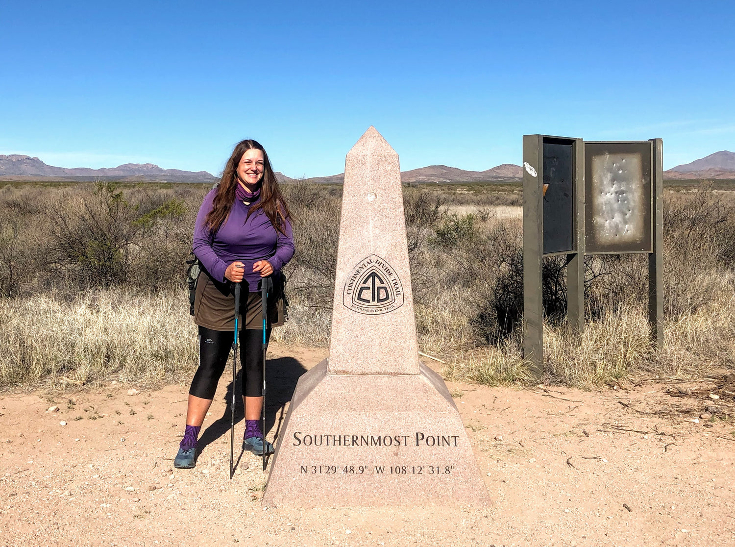
Sara at the Southern Terminus of the CDT, Cray Cook, NM. Photo by Sara Dhooma
Imagine a raindrop falling from the sky upon the spine of the Continental Divide. There are two possible outcomes, roll to the west and flow into the Pacific Ocean, or drop eastward towards the Atlantic Ocean. Either direction will be a wild ride for that little raindrop.
The Continental Divide Trail (CDT) was established in 1978, only a few years before I was born. It is the younger, unruly, and more dramatic sibling in the Triple Crown family The path meanders around the American geological Divide and crosses five states: New Mexico, Wyoming, Colorado, Idaho, and Montana. The length of the trail is about 3,100 miles, however, most hikers often take alternatives that shorten the overall distance by hundreds of miles.
Why did I choose to hike this trail? Just like many other seasoned hikers, it was the logical progression after experiencing the Pacific Crest Trail and the Appalachian Trail. It is akin to ‘leveling up’ in a video game to battle the boss stage. While researching the route, I happily discovered that the CDT travelled through a few of my ‘bucket list’ wilderness areas: Gila River in New Mexico, San Juan Mountains in Colorado, Wind Rivers Range in Wyoming, Yellowstone National Park in Idaho/Wyoming, and Glacier National Park in Montana. Beyond the myriad of natural wonders, I was eager to explore the diverse cultures within the regional trail communities. I’d be a first-time visitor to all five CDT states (not including a whirlwind four-day New Mexican road trip).

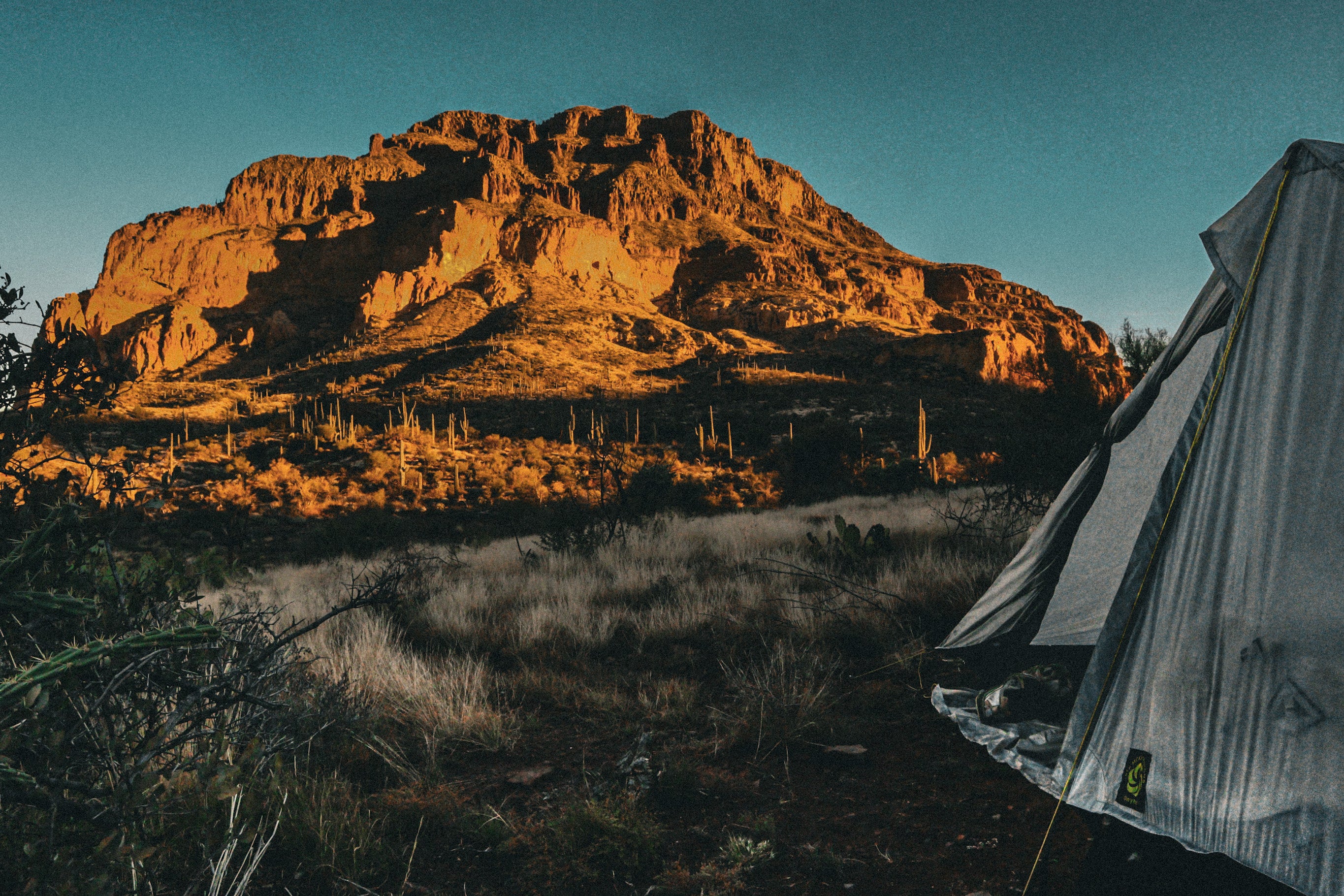
Gila River Wilderness camping at it's finest, Sara enjoyed having her Skyscape X a long for the hike. Photo by Sara Dhooma
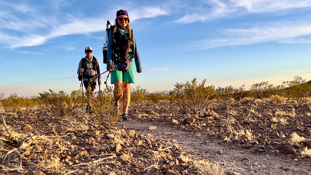
I set off from the Crazy Cook Southern Terminus on the Mexican border- and quickly discovered the CDT requires focused concentration to navigate. There are large stretches of unspoiled wilderness with minimal trail markings. Popular alternative routes such as the detour to climb Mount Taylor in New Mexico do not have any CDT signage. Even the well-marked sections have misleading signage which may result in unintentional ‘bonus miles’. Most my navigation was done through four different GPS programs on my iPhone. There were a few times that I referenced a paper map, but it was unneeded.

Thru-hikers Highlight & Longshanks crossing the Gila River, photo by Sara Dhooma
My trail route finding skills advanced to the point where I was comfortable with occasional solo bushwhacking adventures. I’d study the topography map and decide to venture off-trail in search of better water sources, to avoid pointless elevation gain, or just to spice up the hiking day with a bit of variety. I loved the freedom to go exploring through the Divide’s pristine desert, alpine and grassland environments. This is the single biggest advantage to hiking this trail over the Pacific Crest Trail and the Appalachian Trail. Choosing your own adventure- to fit your mood, weather conditions, and even trail town preference!
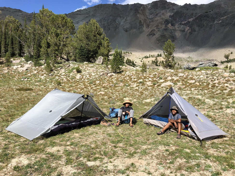
Other than within the National Parks, there are few marked and established tent sites. In the desert section it was reliable to find something decent close to water. In water abundant areas, I simply kept my eyes peeled for a tent-site candidate within an hour of sunset. It was a bit frustrating to squeeze my SMD Skyscape X into a thorny, sloped spot, and then discover a prime tent-site in the morning just around the corner! This happened all the time.
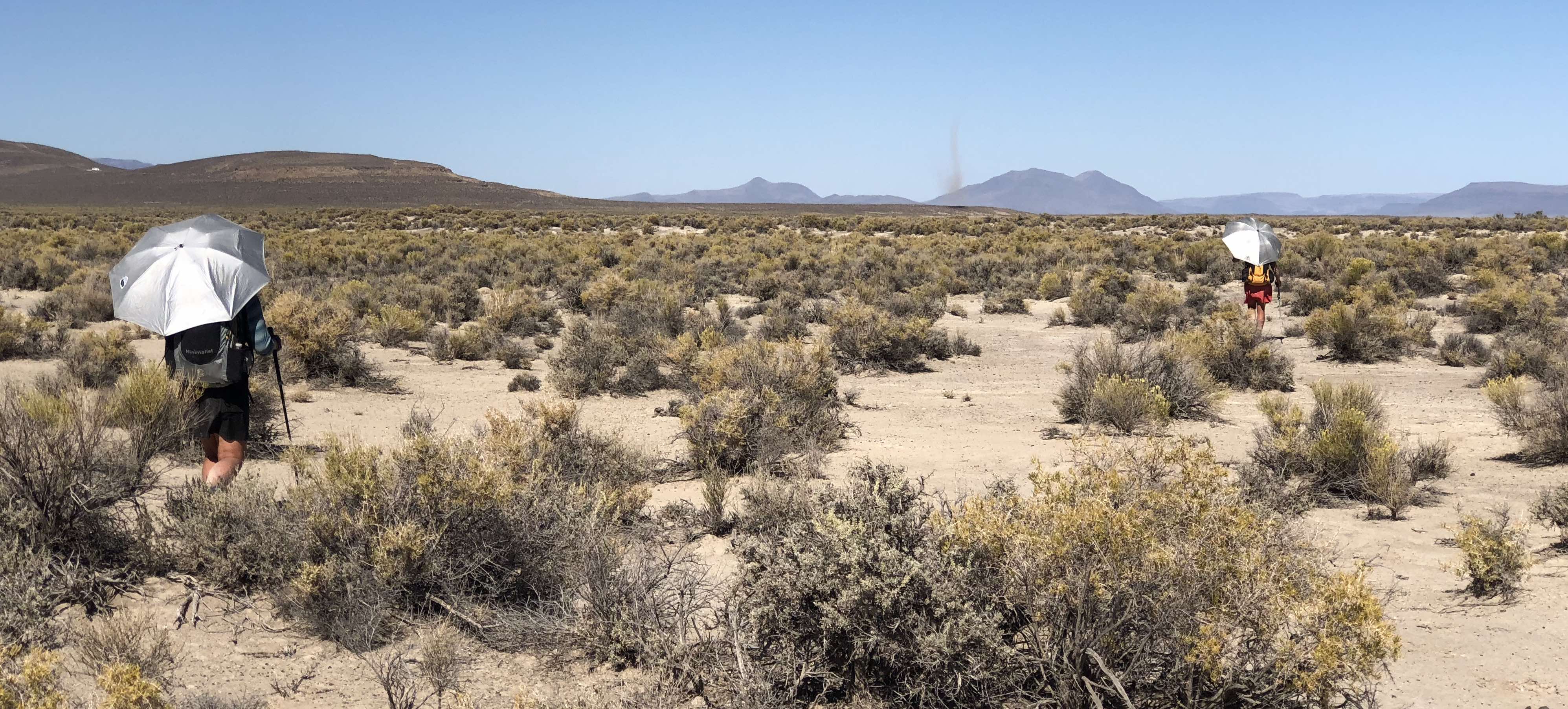
A big negative with the Continental Divide Trail are the tedious highway walks. No hiker enjoys hiking miles on highway shoulder with huge trucks whizzing by at high speed. The flat, hard tarmac is also really tough on the joints. Hopefully those sections will be re-routed away from busy roads in the future. I don’t mind walking lonely, rough dirt track like Wyoming’s vast Great Divide Basin. My SMD Silver Shadow Mini Umbrella was a crucial piece of equipment on those exposed, shade-less stretches. I was skeptical, but the reflective material made a big difference to keep cool and more comfortable.
I must also mention the truly terrible water sources in the arid regions. I continued my routine from the Israel National Trail of carrying heavy water loads in my backpack. This allowed me to skip filtering disgusting places like tanks with dead, rotting animals inside, or stagnant ponds flavored by cow poop. Of course I also encountered refreshing, clear mountain spring water in many alpine areas. Filtering is always prudent just in case sneaky cows are out and about.
Sara after falling into an icy creek near Cuba, NM
Unfortunately, 2019 was the wrong year for a northbound thru-hike on the Continental Divide Trail. The combination of record-high snowpack and late-season storms in Colorado resulted in the majority of thru-hikers skipping, flipping, quitting, or taking low elevation routes on highways. I hiked through New Mexico slowly, needing multiple zero days off to wait out bad weather. The CDT is notorious for being a solitary trail, but hikers bunched up in trail towns with distractions like ‘Game of Thrones’ watch parties with trashcan margaritas. My favorite trail family memory was a Santa Fe party night complete with outrageous thrift store outfits.
Despite being a Canadian, I truly dislike camping in the snow. In Chama, New Mexico (near the Colorado border) I decided to flip up to hike Southern Wyoming. The avalanche risk on the San Juan high route was too dangerous, and I did not want to settle for hiking a less spectacular alternative lower down. After the hiking across the dusty Basin, there hadn’t been enough snowmelt to continue moving north through the Wind Rivers Range or to return to Colorado. I made another tough decision to return home and rejoin the CDT at the northern terminus.
 Sara at the Nothern Terminus of the CDT at Waterton Lake, Glacier National Park the beginning of her "SNOWBO"
On July 2nd, 2019, I became a ‘SNOBO’ and began hiking south into stunning Glacier National Park. I decided early on that I wasn’t going to race through Montana, Idaho, and Northern Wyoming just to flip back to Colorado before the winter starts. I preferred to savor my time in this untamed wilderness full of Grizzly Bears (I encounter six!). In the trail towns, I had some unforgettable opportunities such as a Powwow in Browning, rodeo fair in Helena, and Mormon wedding in Leadore.
As a solo hiker with a leisurely pace, the bubble of SNOWBOs and SOBOs passed me by rapidly. By the time I reached Wyoming, I was seeing hikers only every few days. Just before my final section to complete the state, heavy precipitation began dumping fresh snow into the mountains. I was uncomfortable with traveling alone for a week on a quiet trail. Plus I couldn’t fully appreciate a stormy, misty Wind River Range. I decided to end my CDT journey for 2019 in Dubois.

Wind River views and long summer days, photo by Sara Dhooma
Ideally, It is best to complete the entire trail in one year. Bravo to the CDT Class of 2019 finishers for truly embracing the brutality and pushing through. With this wacky snow year, I’m fortunate to have time next summer to return to the Continental Divide Trail. I hope to hike the Wind Rivers Range and the state of Colorado in more favorable conditions. I also have some unfinished business on the Pacific Crest Trail around Crater Lake, along with all of New England on the Appalachian Trail. Until we meet again Continental Divide TrailChoosing My Own Adventure on the Continental Divide Trail



Leave a comment
This site is protected by hCaptcha and the hCaptcha Privacy Policy and Terms of Service apply.